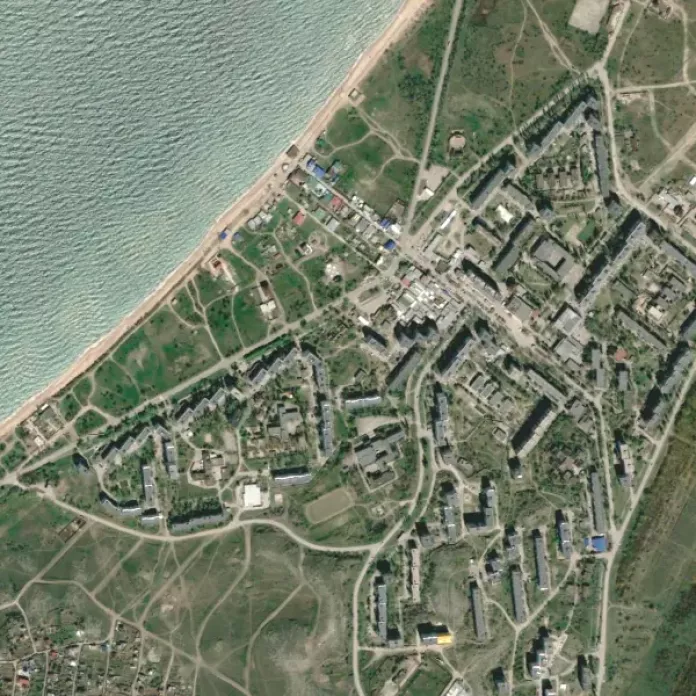
An interactive Map of Shchyolkino makes it possible to get an idea of the territory on which Shchyolkino is located and the features of the structure of the city itself. An interactive map of Shchyolkino can be displayed in the satellite imagery, scheme or map mode, on which all objects are plotted by ordinary people familiar with the features of Shchyolkino. In order to get acquainted with the entire region of Azov, our website also has a general map of the Azov Sea with cities and resorts.